Soil Mapping and Environmental Informatics
DEPARTMENT OF SOIL MAPPING AND ENVIRONMENTAL INFORMATICS
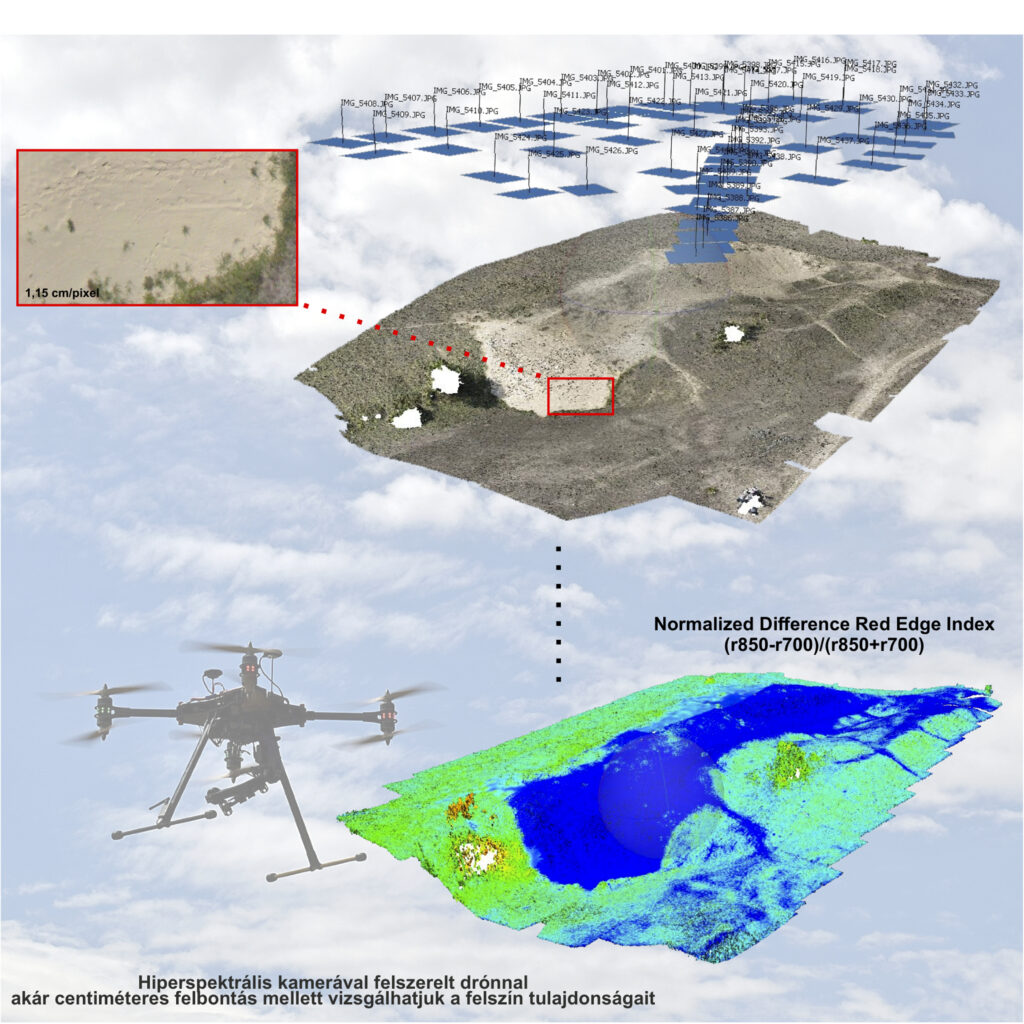
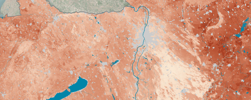
The primary research activities of the Department of Soil Mapping and Environmental Informatics focusses on the complex spatial relationships between soil and the environment. Soil is located at the intersection of the atmosphere, hydrosphere, lithosphere and biosphere, and is a medium for their interactions, as an active or passive participant in many environmental processes. Soil is shaped and characterised by environmental factors and reflects these natural factors and their changes in a complex way. It is of particular importance to investigate the spatial validity and mappability of soil knowledge, and to regionalise soil properties, functions and services, as well as soil-related processes. The role and application of target specific spatial soil information and soil maps is indispensable for modelling environmental processes, and the use of spatial data on environmental elements is essential for soil mapping. This two-way, complex relationship defines the research directions of the Soil Mapping and Environmental Informatics Department, whose main research themes are:
- digital soil mapping,
- pedometric modelling of soil properties and processes,
- spatial modelling of soil-environment relationships,
- geoinformatics – geomathematics – geostatistics,
- state-of-the-art field soil survey and assessment,
- near-surface and proximal soil sensing.
Special emphasis is put on the spatial extension of the knowledge on soil mantle (properties, functions, services, processes) through the development of state-of-the-art spatial modelling and mapping techniques based on applied mathematical and geospatial methods. The complex interactions of soil with environmental elements is spatially modelled at landscape scale. A research priority is given to improve and optimise the accuracy and reliability of digital soil mapping and spatial modelling methods, as well as to the communication of the local and global accuracy of the products.
STAFF
RESEARCH
PUBLICATIONS
SERVICES


